Satrt (F)
Bus 301
Get off at: Arêtes
Timetable 301
End (G)
Bus 311
Get off at: Cerisier
Timetable 311
Level of difficulty:quite easy
Distance: 7,44 km
Variation in altitude: +148 m ; -119 m
Length:2hrs 15mins
Altitude at start: 1056 m
Altitude at end: 1086 m
Highest point: Chalet Heimelig, 1134 m
Season: April-November or when there's no snow
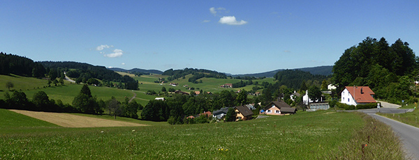
Panorama: view of the La Chaux-de-Fonds valley at the beginning of the walk, from the east
Refreshments:
La Ferme des Brandt
Restaurant Teppan Yaki
Description of the path: the walk starts at the Arêtes indoor swimming-pool (F) ( 25m pool, sauna, fencing hall and Teppan Yaki restaurant ). Walk along the crest of the hill (1) through the fields (if you look back you can just see the town down in the valley) and go down onto the lane which passes the Reprises (2), along the border with canton Berne. Walk around the Mont-Cornu, which is recognisable by its radio-tv antenna, up a steep incline to the Chalet Heimelig (3), a former dairy. Good views of the Chasseral and the valley where Saint-Imier lies. Turn left to go down towards the bus-stop in the residential area named Le Cerisier (G). It is possible to walk further by following Le Chemin de l'Abeille marron to Les Foulets.
Download a PDF map
Watch the walk and its landscapes


