THE ORANGE BEE-PATH
LycéE (B)
Bois du Petit-CHÂTEAU (C)
via Pouillerel
7,22km • 2hrs 15mins • quite difficult
Start (B)
Bus 301
Get off at: Lycée Blaise-Cendrars
Timetable 301
End (C)
Bus 304
Get off at: Bois du Petit-Château
Timetable 304
Level of difficulty: quite difficult
Distance: 7,22 km
Variation in altitude: +232 m; -272 m
Length: 2hrs 15mins
Altitude at start: 1058 m
Altitude at end: 1020 m
Highest point: the summit of Pouillerel,
1275 m
Season: April-November or when there's no snow
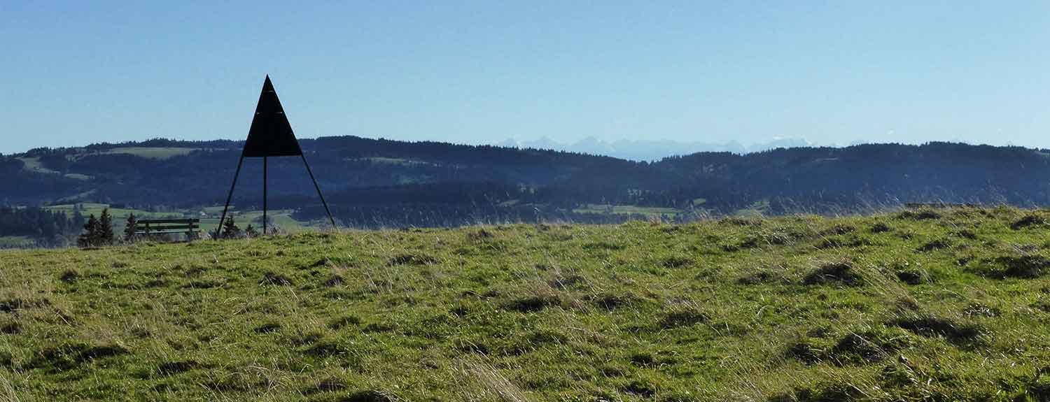
Panorama: 360° view of the whole town, the Jura and the Alps, from the highest point in the area
Refreshments:
Buvette du Maillard
Restaurant de la Grébille
Restaurant des Endroits
Description of the path:follow the road above the Lycée Blaise-Cendrars (B), (built in 1971). Continue across the Endroits plateau and turn right (1) soon after the hotel. Follow the tarmac road steeply upwards to where it flattens out (2). It is possible to follow this tarmac road all the way to the Maillard café-restaurant, which is attached to a working farm at an altitude of 800 m. Leave the tarmac road along a path and soon you will turn right (3) along the path which crosses fields and leads to the Gros Crêt Farm (4). Just past the farm you will see a beautiful dry-stone wall that has recently been rebuilt, then you'll come to the top of Pouillerel (5) and have a panoramic view of the Mont-Blanc, the French Jura and the Vosges, the Franches-Montagnes and the Doubs valley, the Jura, the Eiger, Mönch and Jungfrau peaks, with the town of La Chaux-de-Fonds lying snugly on the floor of the valley below you. Walk down to the Bois du Petit-Château (C) past the tiny chalet Aster café (6) (open at weekends 1st May - 31st October), Cappel (7) and the famous Maison blanche (8), which is a house built in 1912 by Le Corbusier for his parents as his first independent project.
Watch the walk and its landscapes


