THE PINK BEE-PATH
Les Foulets (H)
Le Crêt-du-Locle (A)
via Mont-Jacques
5,04km • 1hr 30mins • quite easy
Start (H)
Bus 303
Get off at: Foulets
Timetable 303
End (A)
Bus 360
Get off at: Le Crêt-du-Locle
Timetable 360
Level of difficulty: quite easy
(possible with pushchairs or in winter using an alternative path around the Mont-Jacques to point 2)
Distance: 5,04 km
Variation in altitude: +108 m; -148 m
Length: 1hr 30m
Altitude at start: 1055 m
Altitude at end: 1015 m
Highest point: Mont-Jacques, 1118 m
Season: all year round
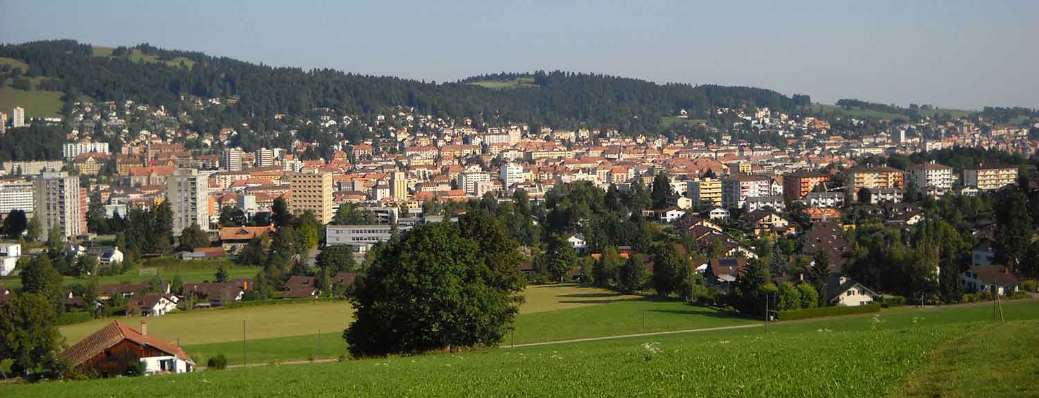
Panorama: view of the north of the town with its checkerboard street plan, from the south
Refreshments:
Restaurant thaïlandais Siam-Orchidée
Description of the path: from the Foulets bus-stop (H), a path along the edge of the Montagnons district takes you to the foot of the Mont-Jacques (1); climb to the top to enjoy an interesting view of the town. Otherwise, (with a pushchair or in winter), you can go around it to join the Roulets valley (2) where you will see a few beautiful farms that are typical of canton Neuchâtel. Turn right at the Bénéciardes (3), go up and then down the Torneret hill (4), which is another place with a good view, to reach le Crêt-du-Locle (A) on the boundry between La Chaux-de-Fonds and Le Locle. The watch company Cartier owns a large factory here (5) and, following a competition for ideas, the local authorities plan to encourage mixed land-use, with both industrial buildings and housing. From le Crêt-du-Locle, catch a bus or a train back to La Chaux-de-Fonds. If you wish, you can make a detour by walking about 600 m along the main road to the Thai restaurant named Siam-Orchidée.
Watch the walk and its landscapes


